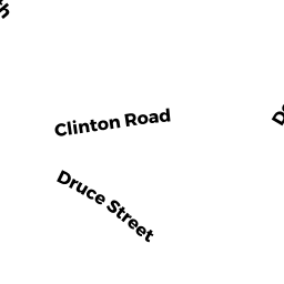
79 CLINTON RD
Owner Information
MARGALIT RAN
79 CLINTON RD
BROOKLINE, MA 02445


Property Details
79 CLINTON RD is classified as a Single Family Residential (Garrison).
The primary structure on this property was built in 1929. There is 2,262ft2 of residential/living space within this property. This property is listed as having 9 rooms.
79 CLINTON RD is valued at $1,437,800. The land is valued at $787,400 and the structures are valued at $650,400.
This property is in Zone S10. Confirm with local Zoning Board authorities to ensure there are no overlays or other easements on this property.
79 CLINTON RD was last sold on Wednesday, June 24, 2015 for $1,400,000.
Assessment data from fiscal year 2021.
Flood Data
According to the FEMA National Flood Hazard Layer, this property does not appear to be in a flood zone. It may also be in an area not yet reviewed. Nonetheless, confirm this information prior to taking any action.
To view the flood hazards around this property, create a FEMA "Firmette" Map of the area around 79 CLINTON RD.
Broadband Internet Providers
| Provider | Type | Bandwidth (mbps) | |
|---|---|---|---|
| RCN | Cable | 1000 | 20 |
| Starry, Inc. | Fixed Wireless | 200 | 200 |
| GCI Communication Corp. | Satellite | 0 | 0 |
| HughesNet | Satellite | 25 | 3 |
| VSAT Systems, LLC. | Satellite | 2 | 1 |
| RCN | Cable | 500 | 20 |
| Comcast | Cable | 1000 | 35 |
| Verizon New England Inc. | DSL | 10 | 1 |
| Viasat Inc | Satellite | 100 | 3 |
| Crown Castle Fiber | Fiber | 0 | 0 |
Broadband service provider data from December 2020.
Adjacent Properties
- 87 CLINTON RD
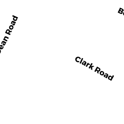
Single Family Residential owned by VISHLITZKY MIRYAM & NATAN - 222 CLARK RD
Single Family Residential owned by MARSHALL MICHAEL K - 216 CLARK RD
Single Family Residential owned by COHEN TRS ANDREA L - 226 CLARK RD
Single Family Residential owned by DOWD MICHAEL V - 75 CLINTON RD
Single Family Residential owned by PASTERNACK MARK